Having got on the wrong side of a GPS system over my Pre-War Prescott weekend, when it led me and my carrier up a very narrow, very steep road instead of the sensible way round, I wondered how one navigates when flying a pre-war plane like Paul Harvey’s Tiger Moth. Do you use pre-war navigation techniques, and if so, what are they (looking over the side, for example, to see where you are!); and if you use modern navigation techniques, what does that involve? Do you use a kind of ‘aviator’s Tom Tom’? Excuse me asking this daft question, but I’m not a pilot, not an aviation ‘buff’, so the only way I can find out is to ask…
-
Recent Posts
Recent Comments
Archives
- June 2021
- February 2019
- January 2019
- December 2018
- November 2018
- October 2018
- October 2017
- September 2017
- October 2015
- September 2015
- August 2015
- July 2015
- June 2015
- May 2015
- April 2015
- March 2015
- February 2015
- January 2015
- December 2014
- November 2014
- October 2014
- September 2014
- August 2014
- July 2014
- June 2014
- May 2014
- April 2014
-
Join 320 other subscribers
Supporting the RAF Benevolent Fund:

Visit my Where They Served Facebook page
Sponsors: Brightwells Classic Vehicles

Find me on Google:
-
Recent Posts
Recent Comments
Archives
- June 2021
- February 2019
- January 2019
- December 2018
- November 2018
- October 2018
- October 2017
- September 2017
- October 2015
- September 2015
- August 2015
- July 2015
- June 2015
- May 2015
- April 2015
- March 2015
- February 2015
- January 2015
- December 2014
- November 2014
- October 2014
- September 2014
- August 2014
- July 2014
- June 2014
- May 2014
- April 2014
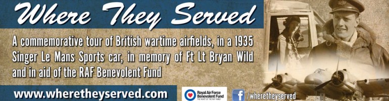
Where They Served · A commemorative tour of second world war airfields

I know the pilots used to follow rivers or trunks roads. OK when the weather was good!
LikeLike
Ha! Look at a map of old airfields, and they are near prominent landmarks so the pilots could follow them.
Take the Fosse Way from Bath to Lincoln – loads of old airfields nearby – in fact Kemble (old home of the Red Arrows) lies right across it!
LikeLike